Remote Sensing and Satellite Imagery for Infrastructure Oversight
Published on: Tue May 28 2024 by Ivar Strand
1. The Unblinking Eye: : The Challenge of Monitoring in Inaccessible Areas
Development partners have a fiduciary duty to oversee the projects they fund. Effective monitoring is essential to verify progress, ensure compliance, and justify expenditures. The key challenge, however, is that many critical infrastructure and agricultural projects are located in regions where physical access is constrained by insecurity, difficult terrain, or other logistical impediments.
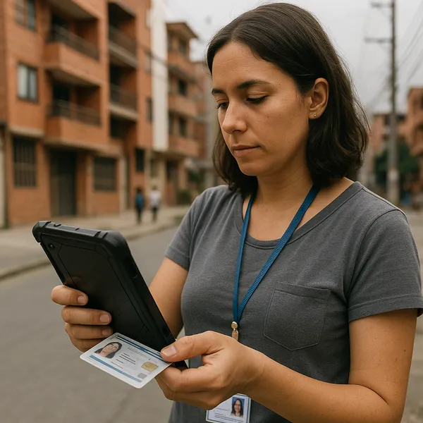
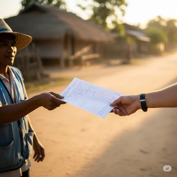
In such non-permissive environments, traditional Monitoring and Evaluation (M&E) methods—which rely on regular site visits by field staff—become impractical, costly, or expose personnel to unacceptable risks. This can create significant blind spots, leaving project managers and investors unable to independently verify reported progress.
In this paper, we discuss the practical application of remote sensing and satellite imagery analysis as a tool for objective, persistent project oversight. This is about using geospatial data to close the monitoring gap in the world’s most challenging operational contexts.
2. A Framework for Remote Oversight
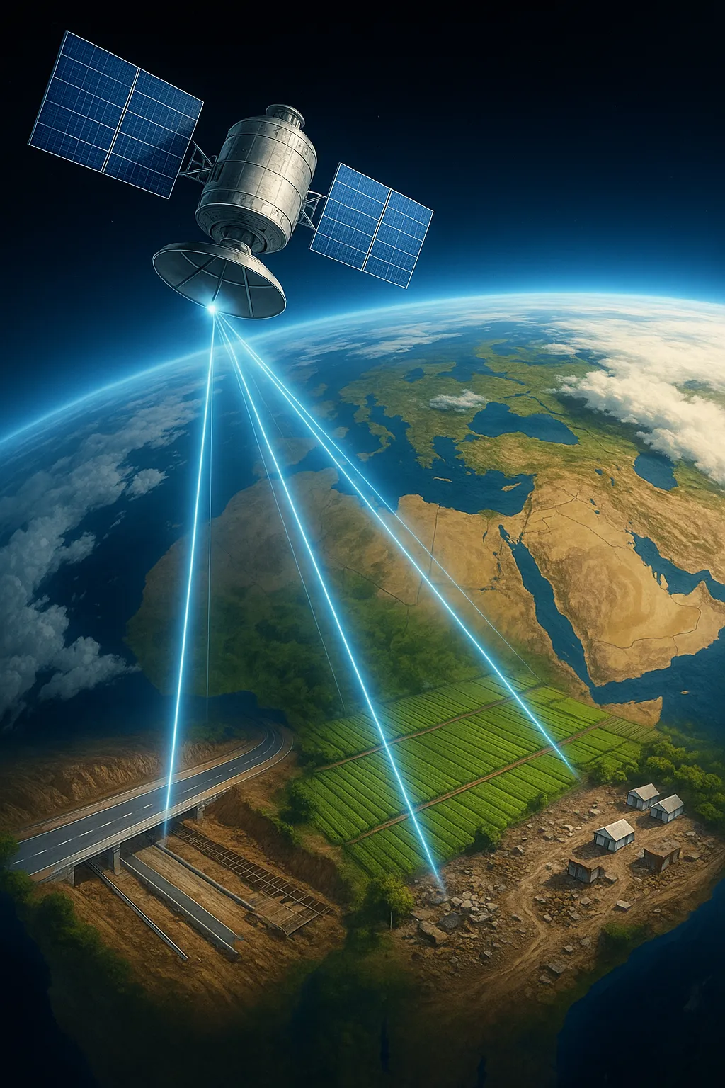
The fundamental idea behind remote monitoring is the use of technology to observe physical change from a distance. Recent advances in the availability and resolution of commercial satellite imagery, combined with the analytical power of Geographic Information Systems (GIS), have made this a viable and cost-effective approach.
The methodology rests on a core principle: temporal analysis. By comparing high-resolution images of a specific location captured at different points in time, we can objectively measure and document physical change. This transforms satellite imagery from simple pictures into a structured source of data for project management.
This approach allows us to track developments on the ground systematically, without the need for a constant physical presence. It provides an independent stream of evidence that can be used to corroborate or question progress reports submitted by implementing partners.
3. Practical Applications in Project Monitoring
The application of remote sensing is not theoretical; it is a codifiable process with direct relevance to a range of development sectors. At Abyrint, our work has focused on several key use-cases.
-
Infrastructure Project Tracking For large capital projects, such as the construction of roads, buildings, or irrigation canals, satellites can monitor the entire lifecycle. We can track initial ground-clearing, the excavation of foundations, the assembly of structures, and the presence of construction equipment and material stockpiles. This visual evidence, timestamped and geolocated, provides unambiguous proof of progress (or lack thereof) that can be aligned with financial disbursement schedules.
-
Agricultural and Environmental Analysis In agricultural programs, a key objective is often to increase the acreage of a certain crop. Using multispectral imagery, we can analyze the vegetation index ($NDVI$) of farmland over a growing season to estimate crop health and area under cultivation. This provides a quantitative measure of program outcomes. Similarly, for environmental projects, remote sensing is a powerful tool for tracking changes in land use, such as deforestation, reforestation, or the surface area of water bodies.
-
Post-Disaster Damage Assessment Following a natural disaster like a flood or earthquake, there is an urgent need to understand the extent of the damage to guide relief efforts. Remote sensing allows for a rapid assessment of impacted infrastructure, including roads, bridges, and buildings, enabling a more targeted and efficient response long before ground teams can safely access the entire area.
4. Integrating Remote Data with Ground Truth
Remote sensing is a powerful tool, but it has limitations. It cannot, for instance, assess the quality of construction materials or capture the perspectives of local community members. For this reason, we do not view it as a complete replacement for field-level engagement but as a complementary component of a modern M&E system.
The most robust approach involves using satellite analysis to guide and focus ground operations. This concept is known as “ground-truthing.” Remote analysis can identify specific sites or anomalies that require further investigation—for example, a bridge that appears damaged or a school where construction has stalled. This allows scarce and expensive field resources to be deployed with surgical precision, investigating known issues rather than conducting random spot-checks. This synthesis of remote and direct observation creates a highly efficient and effective oversight mechanism.
5. Towards Objective and Persistent Oversight
For organizations investing in regions with access constraints, remote monitoring is no longer a niche capability. It has become an essential instrument for responsible project management. It provides an objective, empirical, and persistent record of physical activity on the ground, enhancing transparency and accountability.
By integrating geospatial analysis into standard M&E frameworks, we can mitigate operational and fiduciary risks, make better-informed decisions, and ultimately deliver more effective development outcomes. It allows us to maintain a watchful eye on our investments, even in places we cannot easily go.