Geospatial and Forensic Multimedia Verification in Remote Audit Contexts
Published on: Sat Apr 09 2022 by Ivar Strand
Beyond the Survey: Geospatial and Forensic Multimedia Verification in Remote Audit Contexts
The foundation of traditional monitoring and verification rests on a well-established set of methods: structured surveys, key informant interviews, and focus group discussions. These tools are indispensable for capturing stakeholder perceptions, understanding complex social dynamics, and gathering qualitative insights. Their value is undisputed, yet their limitations must also be acknowledged. An over-reliance on self-reported data introduces an inherent vulnerability to various forms of bias, from unintentional recall error to deliberate misreporting.
For mandates that require a high degree of assurance, particularly regarding the completion of physical outputs or activities in remote locations, reported data alone can be insufficient. The central challenge is how to systematically integrate objective, independent layers of evidence into the verification workflow. This paper outlines a framework for incorporating geospatial tools and multimedia evidence to corroborate reported findings, mitigate bias, and provide a higher standard of proof.
The Inherent Limits of Reported Data
A rigorous verification methodology must be designed with a clear understanding of the potential weaknesses in its evidence base. While essential, data derived solely from human reporting is susceptible to several well-documented issues that can impact its reliability.
- Reporting and Recall Bias: Respondents in any context can be influenced by social desirability bias, providing answers they believe the interviewer wishes to hear. In development projects, where benefits may be at stake, this can be amplified. Furthermore, human memory is fallible; asking individuals to accurately recall resource usage or event timelines from weeks or months prior is fraught with potential for error.
- Challenges in Verifying Physical Reality: It is exceptionally difficult to verify the quality or even the existence of physical infrastructure—such as a school, a well, or a road—solely through interviews. While community members can report on its presence and utility, an objective assessment of its completion against technical specifications requires direct observation.
- Constraints on Physical Access: In many fragile states, security conditions or logistical hurdles can render project sites inaccessible to monitoring teams. In these scenarios, monitors may be left with no choice but to rely on the uncorroborated reports of implementing partners or community members, creating a significant gap in the evidence base.
A Framework for Multi-Source Verification
The solution is not to discard traditional methods, but to augment them with technologies that provide objective, time-bound, and location-specific evidence. The key is the purposeful integration of these tools into the monitoring plan from its inception, designed to answer specific verification questions.
-
Step 1. Geospatial Analysis for Remote Verification. Geospatial tools offer a powerful method for observing physical change over time, independent of physical access.
- Satellite Imagery Analysis: High-resolution satellite imagery, from both commercial providers and public sources like the European Space Agency’s Sentinel programme, is a potent verification tool. By comparing imagery from before a project’s start date with imagery from after its reported completion, monitors can objectively verify the construction of new infrastructure, assess changes in agricultural land use, or confirm the presence of refugee camps or settlements. This is particularly valuable for validating progress in non-permissive environments.
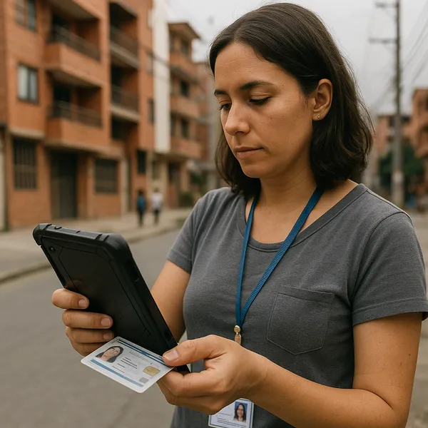
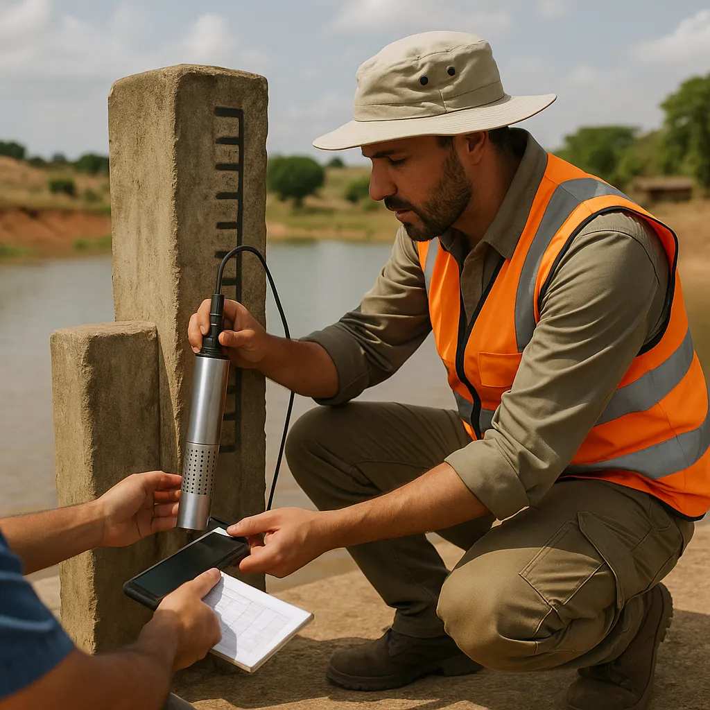
- GPS Data for Locational Integrity: The systematic collection of Global Positioning System (GPS) data provides a fundamental layer of verification. By equipping field enumerators with mobile data collection tools that automatically capture GPS coordinates for each survey, a monitor can map the data collection points to confirm that the intended geographical areas were covered. This simple step helps ensure data integrity and guards against data fabrication.
-
Step 2. Systematizing Multimedia Evidence Collection. Carefully managed multimedia collection can provide rich, verifiable evidence of project activities and outputs.
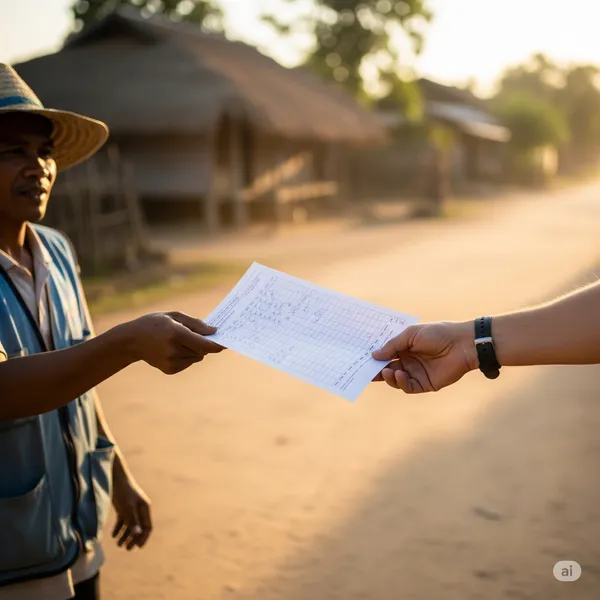
- Time-Stamped and Geotagged Photography: The most common form of multimedia evidence is often the least reliable due to the ease with which photos can be manipulated or misrepresented. The solution is to mandate the use of mobile applications that embed verifiable, unalterable metadata directly into the image file. This EXIF data should include the precise GPS coordinates, the date, and the time the photo was taken, providing a secure link between the image and its context.
- Audio Recordings for Quality Assurance: With explicit and informed consent from the participant, recording interviews serves two purposes. First, it creates an unalterable record of the conversation, which is invaluable for nuanced qualitative analysis. Second, it functions as a powerful quality control tool, allowing supervisors to conduct spot-checks to ensure that enumerators are adhering to the survey script, asking questions neutrally, and not leading respondents.
-
Step 3. The Triangulation and Analysis Matrix. The value of collecting these varied forms of data is only realized through their systematic comparison. At Abyrint, we have found that the use of a formal triangulation matrix is essential. This analytical tool organizes the evidence for each key verification question by source (e.g., Survey Data, Interview Notes, Satellite Image Analysis, Geotagged Photos). The analyst then methodically assesses whether the evidence converges, which builds confidence in the finding, or diverges, which flags a discrepancy requiring further investigation.
This process is best structured using an Exhibit A: Multi-Source Triangulation Matrix.
Achieving a Higher Fidelity of Evidence
The integration of these tools is not without its challenges. It requires investment in technical capacity, particularly for remote sensing analysis, and robust data management systems to handle large multimedia files. Furthermore, the ethical implications of collecting images and location data must be carefully managed through expanded consent protocols that transparently explain how this data will be used and stored. Remote sensing data also requires “ground-truthing”; it can show that something has been built, but not how well it was built or who is using it.
Despite these considerations, the deliberate and systematic use of geospatial and multimedia tools represents a significant evolution in monitoring practice. It is not about fostering a culture of mistrust, but about embracing a commitment to methodological rigor. By layering objective, machine-generated evidence on top of traditional qualitative and quantitative data, we move towards a higher fidelity of evidence. This multi-source approach allows monitors to substantiate findings with a greater degree of certainty, providing financing partners and stakeholders with more reliable and robust assurance of the reality on the ground.